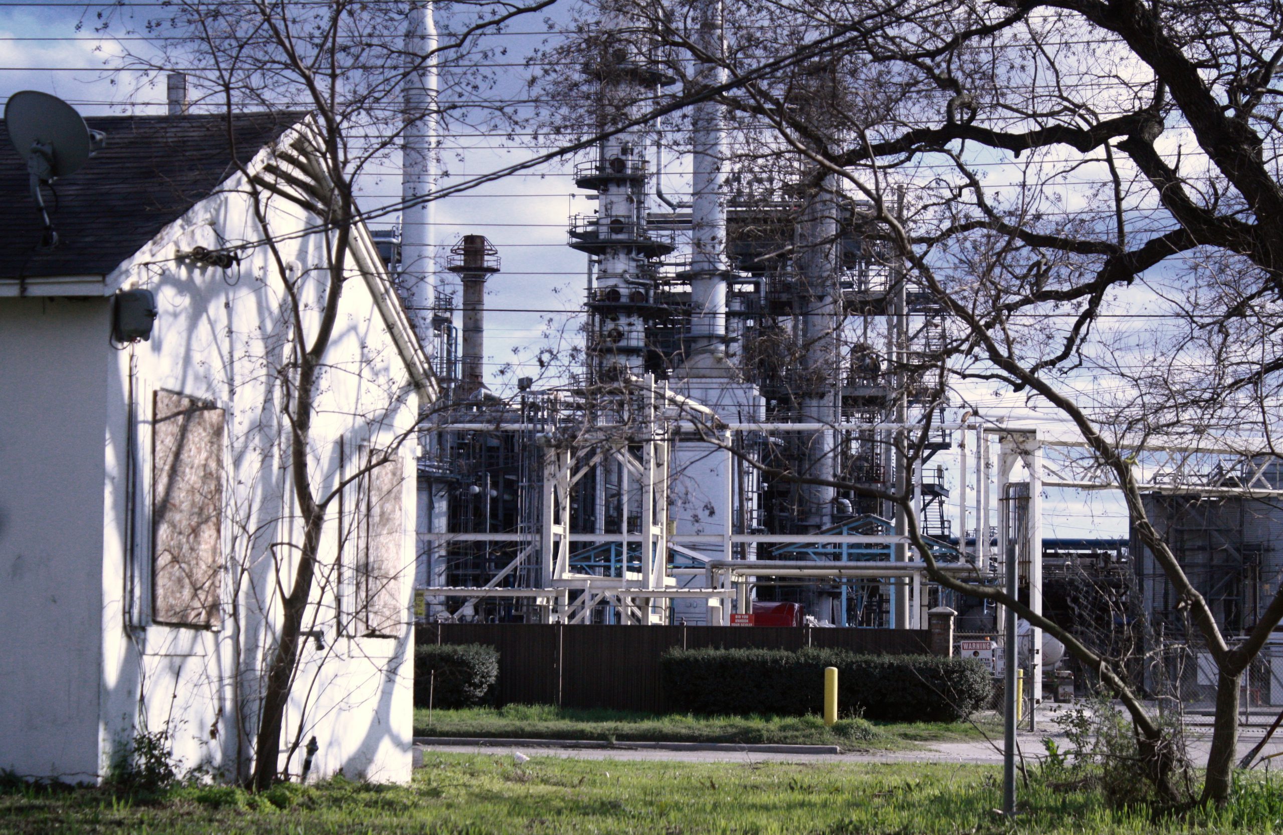
The Investigative Reporting Workshop, in partnership with E&E News and NBC News, set out in 2020 to examine the health of people living in the shadows of U.S. oil refineries.
Nearly 6 million people live within 1 mile of a refinery and, in most cases, those populations have higher rates of lung, heart and kidney diseases. These communities are often poorer and have higher percentages of Black Americans and Hispanics.
The coronavirus pandemic that killed more than 340,000 Americans in 2020 inflicted the most pain and suffering on places where disease was already prevalent. The unremitting grief in communities of color once again threw into sharp relief core environmental injustices and failures of the public health system.
In the five-part series “Toxic Zones,” reporters interviewed residents living near refineries in Tuscaloosa, Alabama; Shreveport, Louisiana; Bakersfield, California; Artesia, New Mexico; and Philadelphia. For many, the pandemic that raged around the oil hubs in the spring and bit down again as winter approached was another chapter in the story of race, poverty and disease in America. The sickness and the joblessness levied a new form of violence in these communities.
“COVID is one more thing that shows how dangerous our patterns of both segregation and pollution are,” said Gwen Ottinger, an associate professor at Drexel University who studies the cultural dynamics of environmental and health inequities.
An analysis of population and health data in the communities that surround U.S. refineries formed the foundation for the series. The toll on these fence-line communities has been the subject of decades of academic research and reports by public advocacy groups. But comprehensive national studies have been hampered by the lack of data about the air around facilities and the health outcomes of the residents who live there.
Data remains at the heart of our struggle to understand the effect of industrial pollution on specific communities. A Reuters report in December found that air monitors are inaccurate or nonexistent in some communities: “About 120 million Americans live in counties that have no EPA pollution monitors at all for small particle pollution.” The number of monitors has declined over the past five years, Reuters found.
Analysis
Data journalists at IRW spent months creating digital footprints for every U.S. refinery. From there, they aggregated census and health data for 1-, 3- and 5-mile zones around each facility and compared those zones to the surrounding counties.
Neighborhoods near the Hunt Refining facility in Tuscaloosa, for example, had nearly double the rate of kidney disease and strokes as the surrounding county.
The Centers for Disease Control and Prevention released data in 2016 designed to help communities better understand health outcomes. The data included census tract-level estimates on diseases and behaviors for the nation’s 500 largest cities. IRW used the 2017 release of the “500 Cities” data in its analysis.
What has been missing from the data became more important as COVID-19 ravaged poor and minority communities. Fifty-eight of the roughly 130 U.S. refineries are in communities not covered by the 500 Cities data. And in other places, the data covers only a portion of the communities potentially affected by facilities.
The nation’s oldest continuously operating refinery is in Bradford, Pa. But the town of 8,200 was too small to be included in the 500 Cities data. Also too small was Artesia, where the HollyFrontier Corp. Navajo refinery released enough benzene to cause acute harm to human health for at least 50 weeks since 2018.
New health data could help smaller communities. The CDC’s “PLACES” project tracks health measures for every census tract in the country. The data is generated from model-based estimates using the 2017 and 2018 Behavioral Risk Factor Surveillance System, 2010 Census population estimates and five-year estimates from the American Community Survey.


